And other map Links Of Interest
The Maps Our Ancestors Followed
Clickable Tennessee County Formation Maps
1783
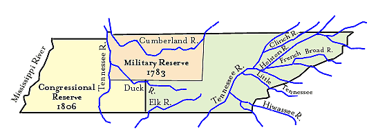
Smith Co. was in the Military Reserve area of North Carolina.
1790
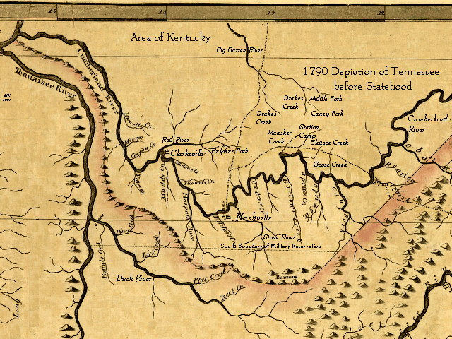
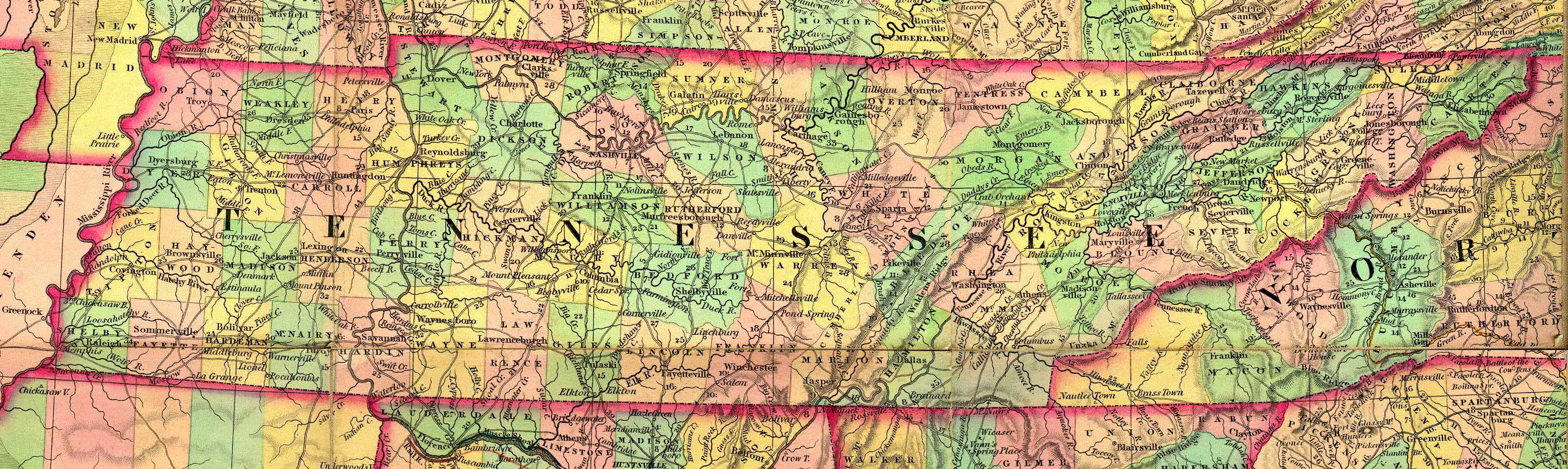
Middle Tennessee before Statehood
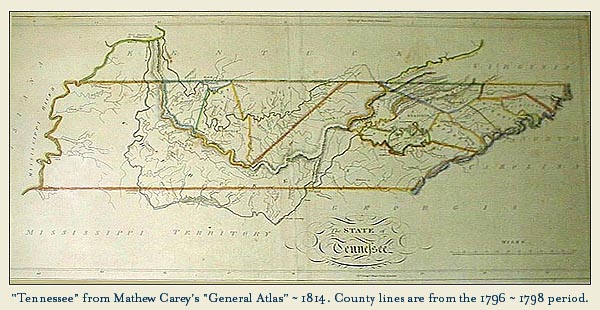
Tennessee before Statehood
1795
North Carolina's Military Reservation in the Southwest Territory
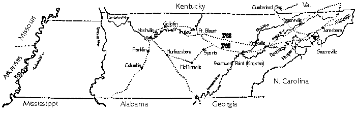
1798
Showing the First 3 Counties of Middle Tennessee
From left to right
Tennessee, Davidson, Sumner Counties
1798
Go To Detailed
Color Map of Middle Tennessee from above map
1803
Old Surveyors Map
of Tennessee
1783-1834
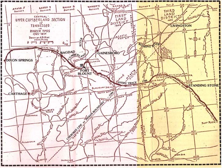
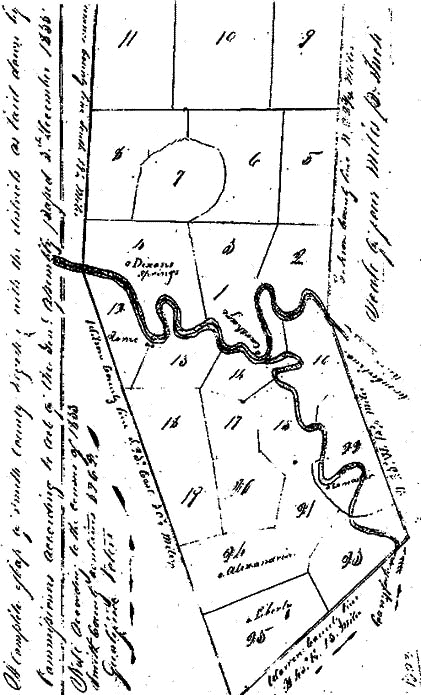
The Avery Trace From Surveyors Districts 1 and 3
Early Roads Of Smith County from the Indian Treaty Map, No.54
From The full map Click Here
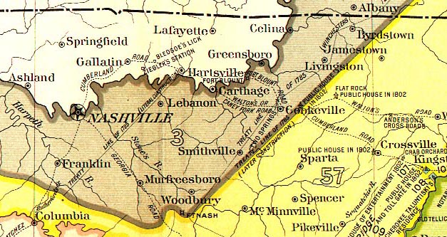
1834
Two counties bordered Smith County on the south side.
White County and Warren County are not shown.
Extracted from Henry
Schenck Tanners 1834 U. S. Map.
1835 Districts
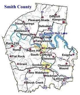
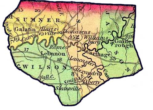
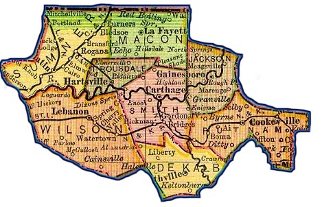
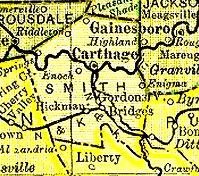
1895 Map Of Smith County And Neighbors
Modern Smith County Map