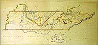
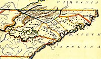
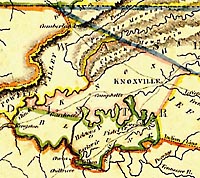
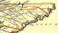
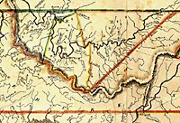
- The little detail maps found on this page, are extracted from a larger map published by Mathew Carey. While our map is from about 1814, the information on the map dates to a much earlier time. The East Tennessee county lines are from the 1798 period, while the Middle Tennessee county lines are from the 1796 period.
Early
Tennessee
Detail Maps From a Map by Mathew Carey
-
Original
Map
Click Here for Large Map 69k
East Tennessee Detail
Click Here for Large Map 185k
Knox and Blount Counties
Detail
Click Here for Large Map 104k
Eastern Part of
East Tennessee Detail
Click Here for Large Map 164k
Middle Tennessee Detail
Click Here for Large Map 187k

Click Here
This page was first posted on: 06 January 2000
Page © Copyright 2000, TNGenWeb